Sunday, April 13, 2014

Big Pine Lakes

I hiked / ran this amazing hike up to the Big Pine Lakes in August 2013.
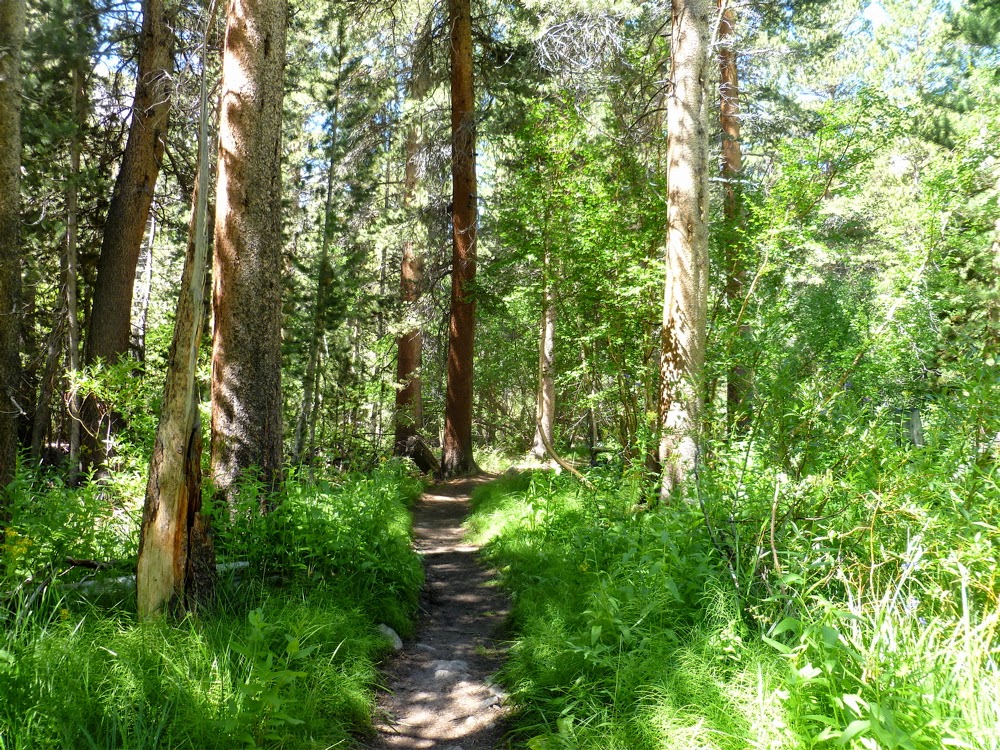
About a mile and half in it's green and a heady creek of cold water runs nearby.
Lake 1. The aquamarine color is because it is fed by glaciers.
Lake 2. The rock formation here is amazing.
Lake 4. This is one of the two lakes that people fish at. The water is not as cold since it is on the other side of the valley.
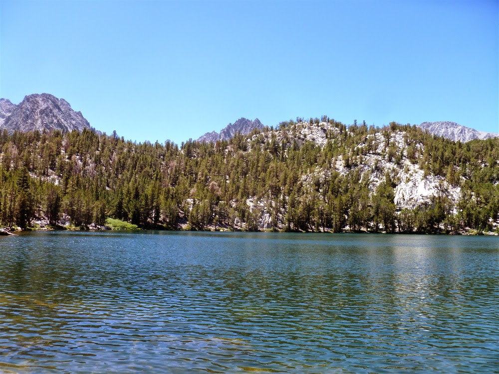
Lake 5. This is a cold lake. I sat here for about 10 minutes and ate what little food I had left. It was very quiet except for the wind and the water lapping on the rocks. This was the highest altitude I got on the trail. There is one more lake further on but it's a bit off trail and not easy to find.

Black Lake, on the way back down the trail.

This is Lon Chaney's old cabin [built in 1929 -30] which you can check out either on the way up on the way back. It's now a ranger station.

This trail is highly recommended. Especially in the summer when it is much cooler than it is in the valley not so far below.

Miles: 9 or 10
Time: 5 1/2 hours hiking quickly and occasionally running.

Tuesday, May 14, 2013

Gaviota Trespass trail

I set out from Santa Barbara by car to drive 35 miles [west along the coast] to Gaviota State Park to run up Gaviota Peak via the Tunnel trail. I made good time and got on the main trail in the cool of the morning. I started easy and then after 200 feet went right onto the Trespass trail which seems to head straight up as it traverses the mountain.

Thinking that the trail route would be easy to follow I stopped paying attention, kept a decent pace and enjoyed the views. But after about 25 minutes I took a right when I should have taken a left. The peak that pretty much dominates the trail both to the right and straight ahead of the trail seemed the natural way to go. It wasn't.

Nonetheless, I still managed a good run - even as the trail slowly got thinner and thinner until it disappeared on top of the wrong mountain. But the views were still great.

 The first mile of the trail.

About 20 minutes of running you get here. The peak straight ahead [with no name I could find] was where I thought I was going. But that's not Gaviota Peak!

Here is where I basically took a wrong turn. If you continue straight you will find a switchback to the left that goes to Gaviota Peak. I went to the right. There are no signs. One hint if you want to go the correct way is to take the trail - pictured above - and make sure to pass a little water hole which will be to the right.

After taking a wrong turn here is how the trail looks. Yes, not much of one - but up top there is a switchback so it seemed okay.


 Here is the view once on top.  Even going the wrong way still has it's rewards.

Another cool view at the top looking back toward Santa Barbara.

Going back the way I came.

I conclude that even if you take a wrong turn on this trail you still get a great hike / run and wonderful views. One can also do both peaks and then head back on the loop down the fire road from Gaviota Peak.

I did this hike in February 2013. It was a cool, mildly windy day. I'm not sure what temperatures are like in spring or summer.

Distance: 5 1/2 miles
Total Time 60 minutes
Wednesday, June 27, 2012

Zion's Angels Landing

If you only have time for one hike in Zion National Park and you have a couple hours to hike then Angels Landing is the hike to do. It is nothing short of spectacular, beautiful and a little scary. Maybe a lot scary if you don't like crawling up steep rock formations that require a chain in order to prevent one from falling a thousand feet.

Yes, not for the feint of heart but not to be missed either.

After a few minutes of hiking on a mostly paved trail you see how the trail is carved into the rock.
Looking down from the trail one gets this view of the valley.

After about 20 minutes of hiking comes the multiple switchbacks called 'Walter's Wiggles'.

At a junction the trail goes off toward the West Rim Trail or up to Angels Landing, which is to the left.
Here is a better view of the 'hike'. At this point it is all but impossible to run the trail.

Climb climb climb.

Here is the a view of the top looking into the park. The entire 360 degree view is beautiful.

For a good trail guide for this hike and others check out Joe's Guide to Zion.

Friday, May 25, 2012

Garapito Trail

One of the rarely tread trails in Topanga State Park is the Garapito Trail. One reason is because if you hike it you have to be prepared to be out longer than the casual hike allows. Plus, if you approach it from the valley side, off of Mulholland drive, it starts downhill for the first mile-and-a-half. And most people choose to, instead, stay on the fire road to the hub junction because it seems the more natural way to go.
If you approach it from the Topanga Park side it takes even longer to get to the trail and loop around. But this is one reason it is such a cool trail; It's out of the way.
The loop trail starts at the top of Reseda Blvd, which is accessed off the Reseda Blvd exit off the 110 in Tarzana. 

I did this trail at the beginning of May 2012.

 After about 8 minutes of running downhill on the fire road you come to the trail sign.

 Continue downhill into the valley.

 Press on upward out of the valley after about 25 minutes of running.

The trail has many switchbacks with lots of overhanging branches and brush. Most people have to duck a lot to stay under the branches.

 
The trail comes out after 40 minutes to Eagle Rock, which is to the right of where the trail goes. But it's tough to deny the desire to take a detour to the top of the rock. [Which for some reason in the photo looks smaller than it is].

The trail is now all fire road as it heads back in a loop to hub junction and then back to the valley side.

Distance: 7 miles
Total Time 72 minutes

Thursday, May 17, 2012

La Plata mountains

One of the trails I ran a lot when I was in college was a trail in the La Plata Mountains outside of Durango Colorado. It's a trail without a particular name mostly because it is on private property and not supposed to be hiked or run. But when you want a killer workout off the beaten [and beautiful] path [which we did] then this was it.
The trail doesn't have a name that I know of but it may be Eagle Pass according to my perusing through Google Earth.

I did this run in June 2010.

The start of the trail crosses a creek.

After about 30 minutes of running you look back and get this view.

Just cruising along.

Spectacular view. The area has an old mine. This building is a relic of its past.

Near the top.

At the top.

Distance: 9 miles [?]
Time: 3 hours

Monday, May 07, 2012

Montaña de Oro

A few miles outside of San Luis Obisbo along the Pacific coast lies Montaña de Oro State Park. There are a good many trails to explore. I took the most obvious one, which is up Valencia Peak. It's not a very long run but it is challenging and you get a nice variety from sand to rock. Plus, the view of the surround region is amazing.

On the way up looking out toward the ocean.

Looking down from the top.

Hard to keep one's eyes on the trail with such a view.

After all the steep running I chose to run by the bluffs.

Looking back up where I ran. Valencia Peak is to the left.
Had I wanted to do a longer run I could have gone to the other peak to the right, which is Oats Peak.

Distance: 5 miles
Total Time 45 minutes

Wednesday, May 02, 2012

Kitchen Mesa

Ghost Ranch, New Mexico has a few trails that offer a beautiful view of the high desert terrain. One of the best is Kitchen Mesa. Seen from the front in the photo above. The trail goes to the top of the rock.

Seen from the back side.

After run / hiking about 20 minutes this is the view you get looking back from where you have hiked.

Then the trail gets crazy. All rocks and hard to find an actual trail. You need to grab the rope [tough to see] that is available.

 The top goes along for a bit.

Once at the very top - after 40 minutes running - you get this view of the ranch.

Looking to the left you get this view. The flat top mountain in the distance is Pedernal.

Kitchen Mesa is a good hike with great views. Running all of it is not possible but that won't prevent you from a good workout in part because it is above 7000 feet altitude.

Distance: 6 miles [?]
Total Time: 80 minutes [the hike apparently takes 3 hours]

Friday, April 27, 2012

Mt Tam trails

Each spring I take a trip to the Bay Area to see relatives and I make it a point to take a run on the trails around Mt Tamalpais. The trail I frequent is the Matt Davis trail. This stretch of it starts near the Throckmorton Fire Station.

[I ran this trail in May 2011.]

Heading along the Matt Davis Trail in the first mile.

After the steep Nora trail the trail comes out at a place called The West Point Inn, which offers a nice view of the bay.

Then I head along another trail to the Mountain Theater, where they are often prepping for a Spring show.

Coming down from the Mountain Theater is a steep section with a lot of switchbacks. Toward the bottom are some steps.

Then I loop back onto the Matt Davis Trail.

And then I finish the last mile going through nicely shaded areas and narrow trees.

Distance: 6 to 7 miles
Total Time: 65 to 70 minutes

Cool Blogs